Residential Areas in Bjerkreim
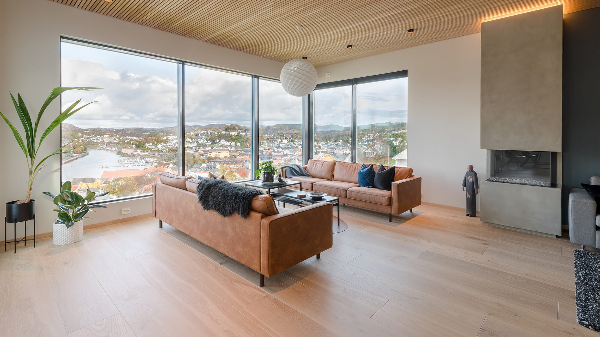
In the northeastern part of the Egersund region, you’ll find Bjerkreim municipality. The municipality has two urban settlements, Vikeså and Bjerkreim. Vikeså serves as the administrative center of the municipality. It is centrally located along the E39 with easy access to bus connections, schools, kindergartens, sports facilities, shops, and gas stations. From Vikeså, you are only a short drive away from the large industrial park Skurve and about half an hour away from Sandnes.

Here you’ll find plenty of outdoor activities with marked hiking trails, whether you’re interested in training and running, or want to bring your family to a shelter to grill sausages. In Hetlandsskogen, you can hike, swim, and pick berries and mushrooms. You’ll also find great bathing spots at Gådå, Svelavatnet, and Lauvtjørna in Vikeså.
Bjerkreim has a rich and diverse natural landscape – and one of the best salmon rivers in the country.
Bjerkreim features a selection of shops and service businesses, and also offers several local food products from exciting producers.
Bjerkreim is a municipality known for wind power and agriculture. The municipality has a diverse economy with various companies in construction, manufacturing, and other industries.
With its close proximity to other towns and cities in South Rogaland, many residents have chosen to live in Bjerkreim and work in surrounding municipalities.

Photo: Destinasjon Bjerkreim/Kevin Molstad
Bjerkreim is a major wind power and agricultural municipality. Its municipal slogan is “In wind and growth.” It is a sparsely populated agricultural community with extensive sheep farming. The municipality has a varied business sector with several companies in construction, manufacturing, and various production industries. Bjerkreim offers a good selection of shops and service businesses and features several local food products from exciting producers.
Bjerkreim Church is located in the old municipal center of Bjerkreim, right by the E39 highway.
In the inland parts of the municipality, there are several elongated lakes such as Birkelandsvatnet, Austrumdalsvatnet, and Ørsdalsvatnet, which is the longest. It is possible to book a tour with M/K Ørsdølen on these lakes. The boat is docked at the Odlandstø pier.
On the Destinasjon Bjerkreim website, you’ll find a wealth of information about experiences, activities, and attractions in Bjerkreim.
VIKESÅ

Photo: UNESCO 2030/Annette Olden Nedrebø
Vikeså is situated by Svelavatnet, right by the E39 highway, and is where most people in the municipality reside. New housing developments are underway in Vikesdalslia. From the top of Vikesdalslia, you have a panoramic view overlooking Svelavatnet and the surrounding mountains. There are plans for new housing and town center development around Nesjane.
There are many great hiking opportunities, playgrounds, and several lean-to shelters for shorter excursions. The image shows the lean-to shelter on Storafjellet. Vikeså Stadium features soccer fields with both natural and artificial turf, an athletics facility, and a roller skiing track. Bjerkreimshallen is an indoor sports facility with a swimming pool, and you’ll also find the Kraftverket fitness center here.
A short walk away is the idyllic and popular bathing spot at Lauvtjødna. It’s well-equipped for swimming and social gatherings with a great grill area.
The urban settlement has a primary and lower secondary school (grades 1-10) with around 300 students, split between two buildings. The elementary school building was completed in 2013. Storafjellet kindergarten is located nearby the school.
Bjerkreim

Photo: UNESCO 2030/Pål Thjømøe
South of Vikeså, you’ll find Bjerkreim with the areas of Røysland and Odland on either side. New housing developments are underway in Fjermedal on the Røysland side. Røysekatten kindergarten is also located here.
On the Odland side, you’ll find Bjerkreim Elementary School, Bjerkreim Church, a community hall, and a Coop store. Here, you’ll also find Laksebørsen, a café, bar, and community gathering place for the village. Laksebørsen was previously known as Apelands Kafe, operating from 1936 until around 1980. They have preserved much of the old charm of the café and focus on serving local products.
Additionally, the area offers many hiking opportunities and good fishing spots.
Lauperak / Ørsdalen

Photo: UNESCO 2030/Alf Ognedal
The village made famous nationwide in the TV series “Cowboyen & Kongen” – where farm owner Arvid Mæland works to carve out the king in the mountain. Through Mæland’s efforts, the village has gained its own royal path, opened by the mayor in 2020.
There are few residents here – occasionally, one of the farms in this magnificent natural area is for sale.
Ørsdalen has a road connection northward through the 1399-meter-long Ørsdalstunnelen to Austrumdal and further to Vikeså. In the valley lies an abandoned wolfram mine. There is a ski resort on the mountain between Ørsdalen and Austrumdal. From Ørsdalen, there are several marked hiking trails, including one to the self-serviced Kvitlen tourist cabin.
Stavtjørn

Photo: UNESCO 2030/June Kvinlaug
Located a 25-minute drive from Vikeså is Stavtjørn. Here, you’ll find ski lifts and cross-country ski trails. Although the area is best known for skiing activities and cabin areas, it offers various leisure activities year-round. There are beautiful hiking trails and peak hikes up to 900 meters above sea level with views of the sea. Opportunities for small game hunting, fishing, and berry picking are available.
DNT’s popular tourist cabins Kvitlen and Støle are located in the area. Swimming in waterfalls, lakes, and pools is also popular here.
See also:
Homes for sale

Homes for rent

Advantages of residing in the Egersund region

Cultural and city life

Recreation, nature, and sports activities
